check out your world
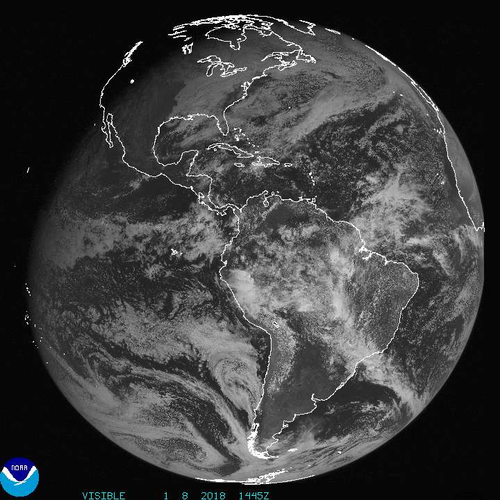
 The image here is from the GOES West spacecraft, a geostationary spacecraft that provides visible and infrared imagery of the Earth in addition to other geophysical data. GOES stands for Geostationary Operational Environmental Satellites, of which GOES West is just one. The fleet of spacecraft orbit the Earth at 6.6 Earth radii, or just over 22,000 miles above the Earth's surface. Orbital mechanics operate such that at this distance a satellite orbits the Earth at the same speed as the Earth itself rotates. The result is a satellite permanently fixed above a single point on the Earth's surface. In the case of GOES West, that spot is far out in the Pacific Ocean. The spacecraft is able to continuously monitor an entire hemisphere from this vantage point. Hawaii is outlined up and to the left in the image, while North and South America are on the right. This image was taken just a few hours ago. I love looking at these images from time to time, they capture the beauty and enormous detail of our planet in a single frame.
http://www.goes.noaa.gov/goesfull.html